

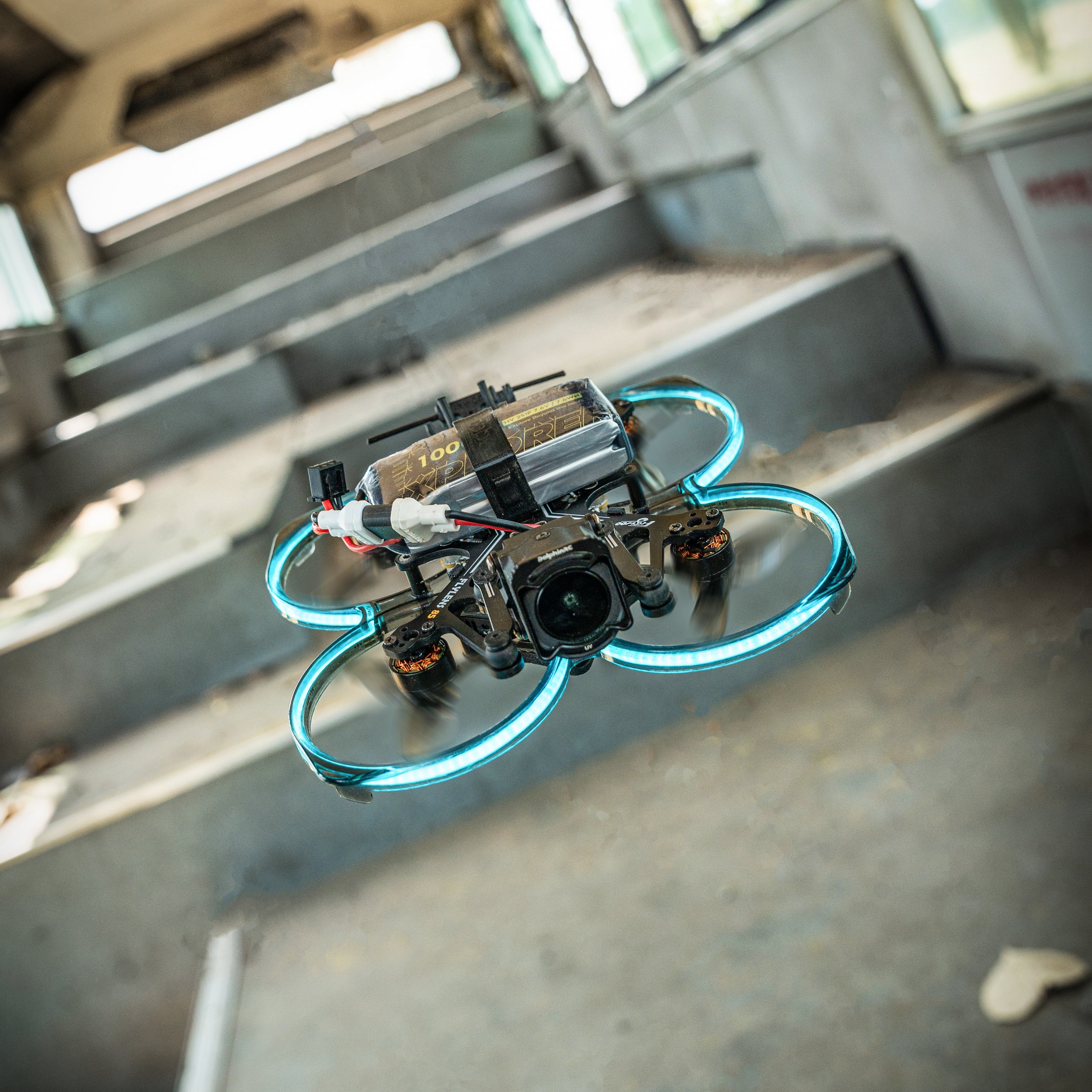
The flight control system can be understood as the CPU system of a drone, which is the core component of the drone. Its main function is to send various commands and process the data returned by various components. Similar to the brain of the human body, it sends commands to various parts of the body and receives information returned by various components, and issues new commands after computation. For example, the brain commands the hand to pick up a glass of water, and after the hand touches the glass and retracts because the water is too hot, it sends this information back to the brain, which then sends new commands based on the actual situation. The functions implemented by the flight control mainly include three categories: drone attitude stabilization and control, drone mission equipment management, and emergency control.
1.Flight Control System
The flight control system can be understood as the CPU system of a drone, which is the core component of the drone. Its main function is to send various commands and process the data returned by various components. Similar to the human brain, which sends commands to various parts of the body and receives information returned by the parts, processes it, and sends out new commands. For example, the brain commands the hand to pick up a cup of water, but when the hand touches the cup and finds that the water is too hot, it pulls back and sends this information back to the brain, which then sends out new commands based on the actual situation. The functions implemented by the flight control system mainly include three categories: unmanned aerial vehicle attitude stability and control, unmanned aerial vehicle mission equipment management and emergency control.
1.1Flight Control Functions
Functions:
①.Unmanned helicopter attitude stability and control② Autonomous navigation flight and track control
③ Takeoff and landing control
④ Flight management
⑤ Management and control of mission equipment
⑥ Emergency control
⑦Information collection and transmission
2.Operating Principles
Helicopter motion includes attitude motion and trajectory motion.
The pilot controls the attitude motion and trajectory motion of the helicopter.
The flight control system is a control system that can partially or completely replace the pilot to directly control the attitude motion and trajectory motion of the helicopter, and can improve the flight quality. It is a set of control systems that can automatically control the flight of the helicopter under the condition of unmanned direct participation.
3.Basic Functions①Autonomous driving function, such as attitude maintenance, heading maintenance, altitude maintenance, etc.
②Improve the controllability and stability (flight quality) of the helicopter.
③Ability to achieve trajectory control, automatic navigation, automatic landing, vertical takeoff and landing, automatic hovering, automatic transition flight and other functions.
II. MEMS Gyroscope
A gyroscope is a device used to sense and maintain direction, designed based on the theory of angular momentum conservation. The gyroscope is mainly composed of a wheel located on the axis and capable of rotation. Once the gyroscope starts to rotate, due to the angular momentum of the wheel, the gyroscope tends to resist changes in direction. Gyroscopes are often used in navigation, positioning, and other systems.
Micro-Electro-Mechanical Systems (MEMS) is the abbreviation of "Micro Electro Mechanical systems", which is a cutting-edge technology based on micro/nanotechnology. MEMS technology refers to the design, processing, manufacturing, measurement, and control of micro/nano materials. It integrates mechanical components, optical systems, driving components, and electronic control systems into a single microsystem. This micro-electromechanical system not only can collect, process, and send information or instructions but also can take action autonomously based on the information obtained or according to external instructions.

.Inertial Navigation System
Inertial Navigation System (INS) is an autonomous navigation system that does not rely on external information or emit energy to the outside. Its working environment includes not only the air and ground, but also underwater. The basic principle of INS is based on Newton's laws of mechanics. By measuring the acceleration of the carrier in the inertial reference frame, integrating it over time, and transforming it into the navigation coordinate system, the system can obtain information such as velocity, heading angle, and position in the navigation coordinate system.

The inertial navigation system has the following advantages:
①As an autonomous system that does not rely on any external information and does not radiate energy to the outside, it has good concealment and is not affected by external electromagnetic interference.
②It can work in the air, on the earth's surface and even underwater, all-weather and all-time.
③It can provide position, velocity, heading, and attitude angle data, and the navigation information it produces has good continuity and low noise.
④The data update rate is high, and the short-term accuracy and stability are good.
IV. GPS
GPS is the abbreviation of Global Positioning System. It is a system that utilizes GPS positioning satellites to provide real-time positioning and navigation globally. The system, also known as Global Satellite Navigation System, was developed and established by the US Department of Defense. GPS is a high-precision satellite navigation system that provides low-cost and accurate 3D positioning, speed, and precise timing information to global users. It is a typical application of satellite communication technology in the navigation field, which has greatly improved the level of informationization in the world and promoted the development of the digital economy.
- Working Principle
The information contained in the satellite signal includes the star map orbit information of the satellite and an extremely accurate time signal. By using the formula of speed-time and distance, combined with the principle of four-point positioning, the user's location can be determined.
- RTK
RTK (Real-time Kinematic) is a new commonly used GPS measurement method. Previously, static, rapid static, and dynamic measurements all required post-processing to obtain centimeter-level accuracy. However, RTK can provide real-time centimeter-level positioning accuracy in the field.
It adopts the carrier phase dynamic real-time differential method. Due to its fast speed and high accuracy, it is a significant milestone in GPS application. Its appearance has brought convenience to engineering surveying and mapping, various control measurements, and greatly improved the efficiency of field work.
All aircraft models of Xi'an Blue Joy Aerospace Technology Co., Ltd. use RTK positioning.


Leave a comment